The Steamboat Era on the Choptank: How the Bay Moved Before the Bridges
Today you reach Hooper's Island by car, over bridges and along the causeway. But for most of the Chesapeake's history there were no bridges worth the name, and the water wasn't a barrier — it was the highway. On the Choptank River, that highway ran on steam. For roughly a century, paddlewheel steamboats connected the Eastern Shore's river towns to Baltimore and to each other, carrying people, produce, and seafood on a schedule. Understanding that vanished world helps explain why towns like Cambridge sit where they do, and why the Bay still feels like the region's true main street.
When the river was the road
Steamboats began working the Choptank in the first half of the nineteenth century, and they transformed it. Before good roads and railroads reached the lower Eastern Shore, hauling anything overland was slow and miserable, but a steamboat could move tons of freight and dozens of passengers on the tide. By some accounts, boats were running to Eastern Shore landings and up the river toward towns like Easton and, farther inland, Denton, from the early-to-mid 1800s onward. For generations, the fastest and most reliable way from a Choptank town to Baltimore wasn't a horse or a wagon — it was to walk down to the wharf and catch the boat.
People, crabs, and crops
What made the steamboats matter was what they carried. Outbound, they hauled the Eastern Shore's harvest to the city: baskets of grain, boxes of peaches and other fruit, canned goods from riverside canneries, and the Bay's own seafood bounty — crabs, oysters, and fish packed for market. Inbound, they brought manufactured goods, tools, supplies, mail, and visitors. Steamboats stitched the region's farm-and-water economy directly to Baltimore's markets, and river landings became the beating hearts of their communities. A family could ship a crop, receive a mail-order stove, and send a son off to the city all from the same wharf.
Landings like Cambridge
Cambridge — your nearest real town, about 29 miles from Hooper's Island — grew up as one of the Choptank's key steamboat ports. Its deeper, more accessible harbor let sizable Bay steamers call regularly, and a busy steamboat wharf handled the flow of freight and passengers for decades. Towns all along the river had their own landings, some little more than a pier at the end of a farm lane, others full-fledged commercial wharves. Those landings shaped where people gathered, traded, and built. If you visit Cambridge's waterfront today and imagine a paddlewheeler easing in to unload, you're picturing the engine that once drove the whole region.
The Bay is still the region's main street
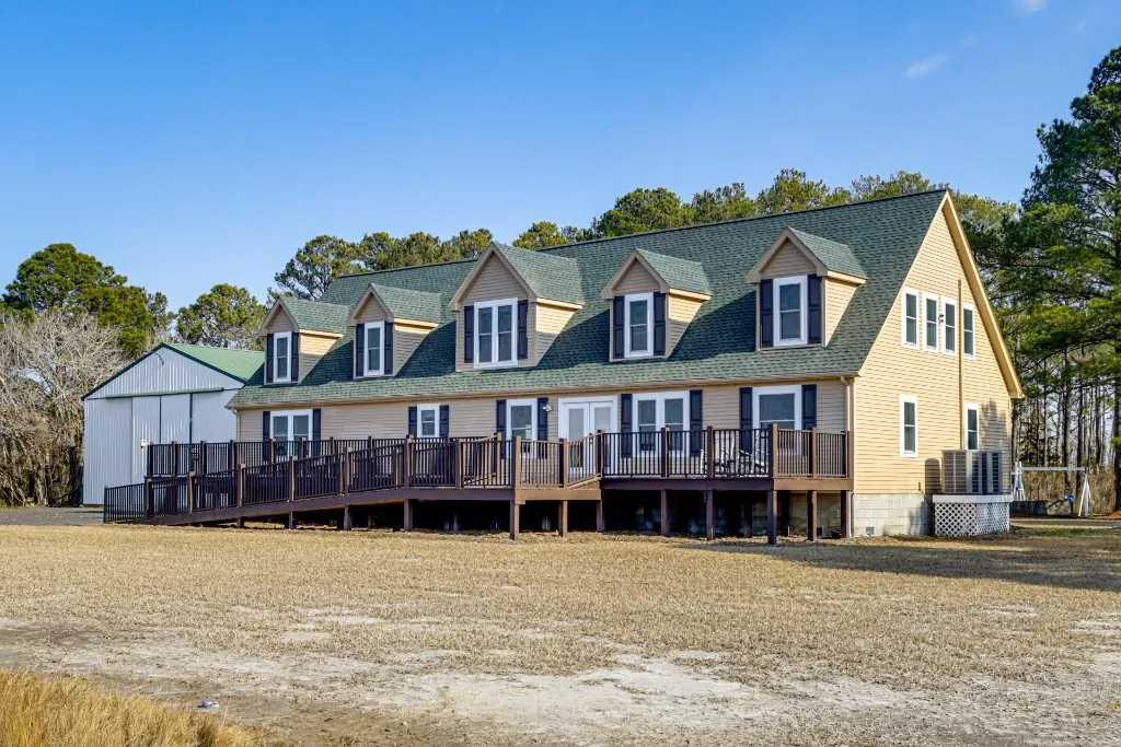
The Bayside Escape sleeps 24 on Hooper's Island in Fishing Creek, MD, with historic Cambridge and the Choptank River about 29 miles up the road. Create a free Bayside Rewards account and get $100 toward your first direct booking.
Why the steamboats faded
The steamboat era didn't end because the boats got worse — it ended because the land caught up. As roads improved, trucks arrived, and, crucially, bridges spanned the big rivers, the water highway lost its advantage. When a major bridge carried a modern highway across the Choptank in the mid-1930s (an opening notable enough to draw a sitting U.S. president, by some accounts), the writing was on the wall. Cars and trucks could now go door to door, and the scheduled steamer to Baltimore slowly became a memory. What's left is a landscape still shaped by that older logic: river towns facing the water, wharves and landings turned to parks and museums, and a Bay that, if you let it, still feels like the road it once was.