Reading the Tides on Hooper's Island: A Practical Guide
Come to Hooper's Island and you'll quickly notice that the water is never quite the same twice. This is a low-lying, tidal place, and the rise and fall of the Chesapeake quietly sets the rhythm of the day — when the crabbing's good, when it's easy to launch a boat, when the shoreline is widest for a walk. Learning to read a tide chart is one of the most useful things a first-time visitor can do. It's simple, it's free, and it'll make your trip run smoother.
Why tides matter more here
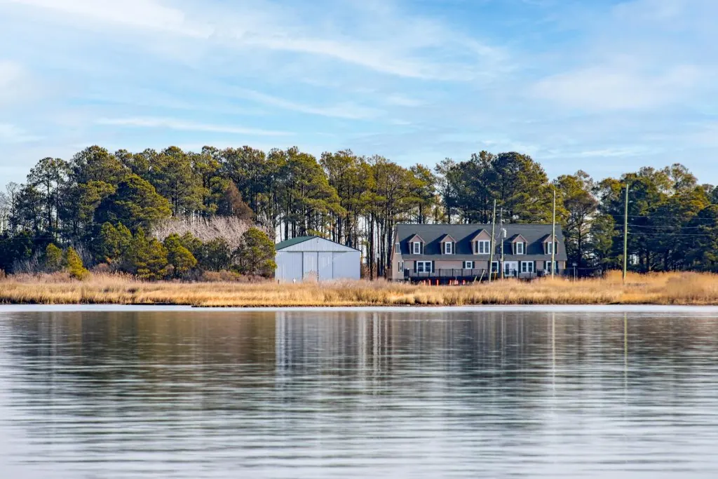
The Chesapeake is a tidal estuary, and Hooper's Island sits right down at the water's edge — three low islands stitched together at the bottom of Dorchester County. When land is this flat and this close to sea level, even a modest tidal swing changes the landscape visibly. Marsh edges appear and disappear, shoreline widens and narrows, and the character of the water shifts through the day. It's not dramatic in the way an ocean surf zone is, but it's constant, and it rewards paying attention.
Three ways the tide shapes your day
- Crabbing. Crabs move with the water, and many crabbers find a moving tide — the hours around a change — more productive than dead slack water. If you're dropping a handline off a public spot, timing your outing to the tide can genuinely change your catch.
- Launching a boat. If you're trailering a boat, the public ramp is a short drive from the house, and water depth at a ramp can vary with the tide. A quick check of the chart before you hitch up saves a frustrating trip.
- Walking the shoreline. The water is across the road from the house, and a lower tide generally means more shoreline to explore — better for beachcombing, poking around for critters, and letting the kids roam.
How to actually read a tide chart
A tide chart looks intimidating and isn't. Here's what you're looking at:
- High and low times. Most days you'll see two highs and two lows, each a little later than the day before. That daily shift is why the "good" hours creep across the week.
- The height numbers. These tell you how high or low relative to a reference level — useful for spotting an especially big swing.
- The station. Tides differ from place to place, so use a station close to the island. NOAA publishes tide predictions for stations around the Chesapeake; pick the nearest one for the most accurate read.
A free tide app or the NOAA Tides & Currents website will give you the week at a glance. Screenshot it before you lose signal, since service can be spotty out here.
Plan the week around the water
You don't need to obsess over the tide — but a glance at the chart at the start of your stay lets you slot your water plans into the best windows. See a good low tide lining up with a lazy afternoon? That's your shoreline walk and crabbing session. Boating one morning? Check that the ramp will have water when you want to launch. Treat the tide table like a loose daily schedule the Bay hands you for free, and your trip falls into a natural rhythm.
Wake up to the water's rhythm
The Bayside Escape sleeps 24 on the Chesapeake Bay in Fishing Creek, MD, with panoramic water views and the shoreline just across the road. Create a free account and get $100 toward your first direct booking.
A note on a low, tidal island
It's worth knowing, plainly, that Hooper's Island is low and tidal, and the Bay is a living body of water. On the highest tides, low spots along island roads can hold water for a while — it's a normal part of life this close to the Chesapeake, not a cause for alarm. Keep an eye on conditions, give the water its due respect, and you'll find that the tides aren't an obstacle at all. They're one of the quiet pleasures of a place where the natural world still sets the pace.