The 1933 Hurricane That Reshaped Hooper's Island
On the map, Hooper's Island is a slender chain reaching down into the Chesapeake — Upper (Fishing Creek), Middle (Hoopersville), and Lower, which is now uninhabited. It wasn't always that way. A single storm in the summer of 1933 helped redraw the map of these islands, and its effects are still visible today in the empty Lower island and the road that no longer reaches it. If you're staying here, the 1933 Chesapeake–Potomac Hurricane is the piece of history that explains the landscape under your feet.
The storm of 1933
In late August 1933, a powerful hurricane swept up the coast and into the Chesapeake region, a storm remembered as the Chesapeake–Potomac Hurricane. It was one of the most consequential storms in the Bay's modern history: it drove destructive tides and surge deep into the estuary, wrecked boats, flooded low-lying communities, and reshaped shorelines from Virginia to Maryland. The same storm is widely credited with cutting the inlet that made Ocean City, Maryland, the resort it is today — a good measure of just how much geography it rearranged in a matter of hours. For the low, exposed communities of Dorchester County, it was catastrophic.
A low island in a rising sea
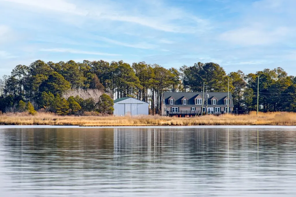
To understand why 1933 hit so hard, you have to picture Hooper's Island as it is: very low, very narrow, and almost entirely surrounded by water. There's little high ground to retreat to and little land to buffer a storm surge. That vulnerability wasn't new in 1933 and it isn't over now — this is a place where the water is always close and the margins are thin. A major hurricane pushing a wall of Bay water across islands that barely rise above it did exactly what you'd fear: it flooded homes, damaged the fragile connections between the islands, and made some places harder to live in than they had ever been.
The Lower island left behind
The starkest legacy is the Lower island. Once home to a community — including a village that, by many accounts, did not survive the 1933 storm — the Lower island lost its road connection and, over time, its year-round population. Today it stands uninhabited, cut off from the causeway that ties the Upper and Middle islands to the mainland. Storms, erosion, and steady land loss combined to make it impractical to keep the road and the settlement going. When you look south from Hoopersville toward that quiet, empty ground, you're seeing the long shadow of 1933 and the decades of water that followed it — a whole community that the Bay slowly reclaimed.
Stay on the living island
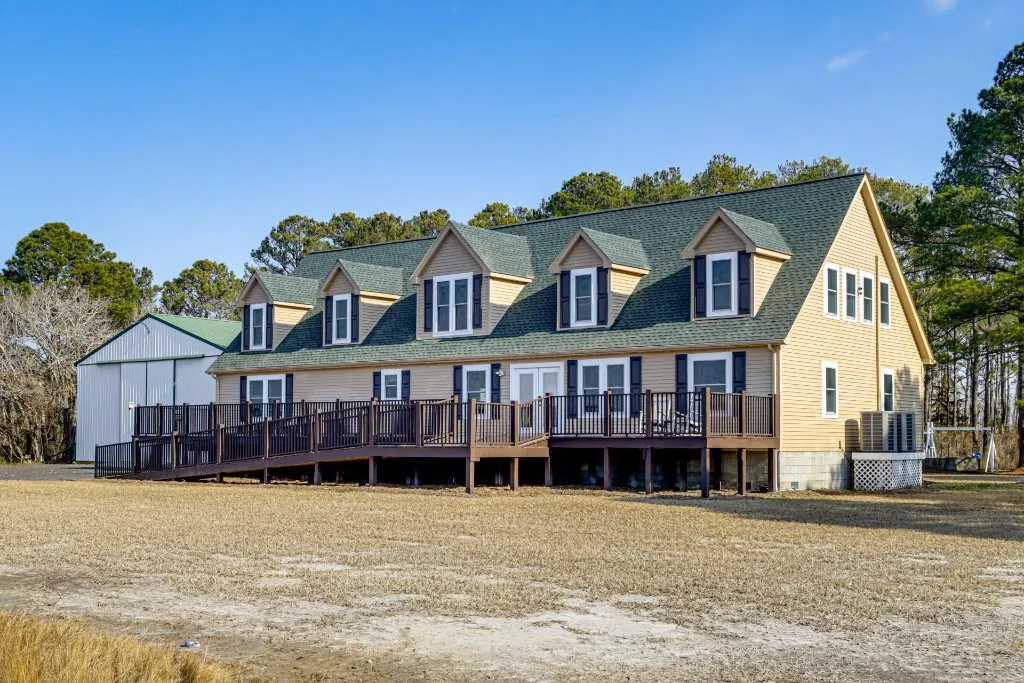
The Bayside Escape sleeps 24 on Upper Hooper's Island in Fishing Creek, MD, where the working community endures. Create a free Bayside Rewards account and get $100 toward your first direct booking, then earn 8% back on every stay.
A living reminder, not a warning
None of this should scare you off — it should deepen the trip. Hooper's Island today is a settled, welcoming place where people still work the water, and a modern stay here is comfortable and safe. But the 1933 hurricane is a useful lens: it explains why the islands feel the way they do, why the road ends where it ends, and why there's such quiet reverence here for the Bay's power. The people of Hooper's Island have always lived in negotiation with the water — taking its bounty, respecting its moods, and rebuilding when it takes something back. That resilience is part of what makes this such a genuine place to visit. The empty Lower island is simply the most honest chapter of the story.